Understand Your Watershed Through the Eyes of Beavers
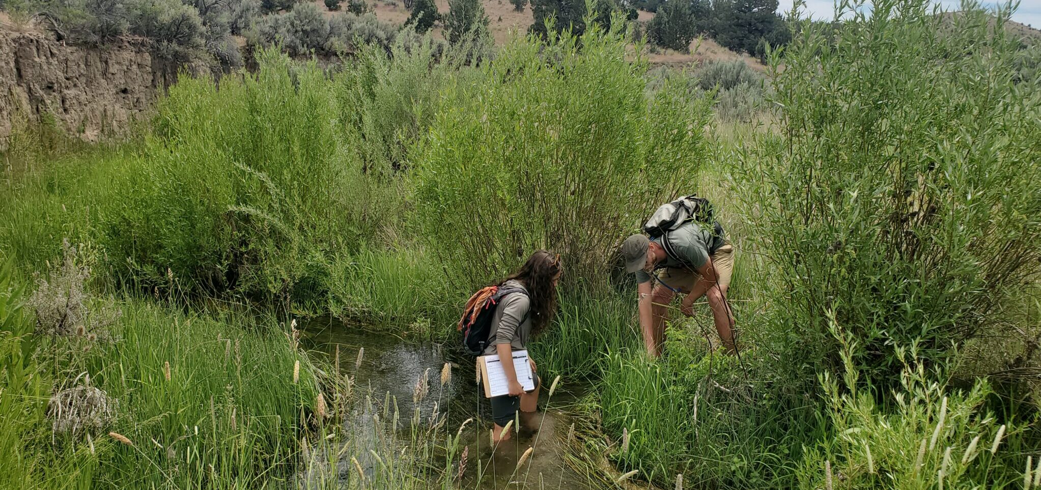
Western Beavers Cooperative conducts watershed-scale field assessments to understand where beavers are living, reproducing, moving, and likely to persist—and what may be limiting their return elsewhere.
Rather than evaluating isolated project sites, we examine the connected stream network. Existing beaver families and the choices they make help reveal where conditions are working and where focused action could build capacity outward.
What an assessment can identify
- Current beaver occupancy and reproductive cores
- Dams, settlement areas, and movement pathways
- Preferred woody forage and recruitment
- Physical and hydrologic capacity
- Barriers and gaps between settlement areas
- Opportunities to protect strongholds and support natural recolonization
- Priorities for a long-term watershed workplan
Who we work with
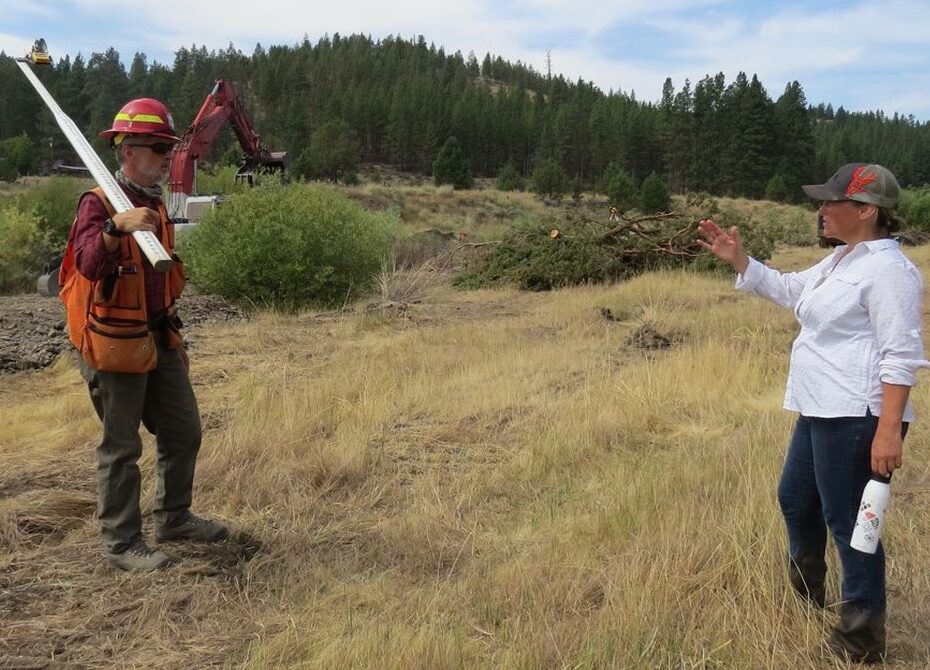
We work with watershed councils, Soil and Water Conservation Districts, Tribes, landowners, agencies, and other locally rooted partners. Assessments can cross public and private lands when local partners help coordinate access.
Thirtymile example
83 stream miles. Eight subwatersheds. Thirty private landowners. One connected assessment.
In Thirtymile Creek, contiguous field surveying documented nine mainstem settlement areas, confirmed reproduction, and revealed a clear watershed-wide limitation: while much of the stream network had suitable landform and late-season water, very little supported enough preferred woody forage.
This information is now guiding a long-term strategy that begins with existing reproductive families and builds capacity outward.
Could this approach help your watershed?
Tell us where you are working, what questions you are trying to answer, and what information or planning already exists. We will follow up to discuss whether a watershed-scale assessment is a good fit.
Start a Watershed Conversation