Western Beavers works alongside landowners, watershed councils, conservation districts, agencies, researchers, and other local partners across Eastern Oregon.
The work often begins with a place and a practical question: What do the beavers already here need to remain? Where could they expand next? What is limiting riparian recovery? How can beaver activity and working lands better coexist? Where can restoration effort have the greatest effect?
The examples below are not a complete list of our work. They are a selection of current and recent efforts that show the range of places, partnerships, and approaches we are working with across Eastern Oregon - from community readiness and long-term monitoring of individual beaver families to watershed-scale assessment, stream and riparian restoration, and practical coexistence.
Building Community Readiness for Beaver Return
Crook, Gilliam, and Lake Counties | In progress
Western Beavers recently launched a two-year effort funded by the Oregon Watershed Enhancement Board to help rural communities prepare for the natural return and expansion of beavers.
The work is centered in Crook, Gilliam, and Lake Counties, including agricultural working lands where beaver return may bring both opportunities and practical challenges. The project brings together local conservation agencies, landowners, practitioners, and other community partners to build relationships, practical knowledge, and local capacity ahead of time - rather than waiting for beaver-related questions or conflicts to arise.
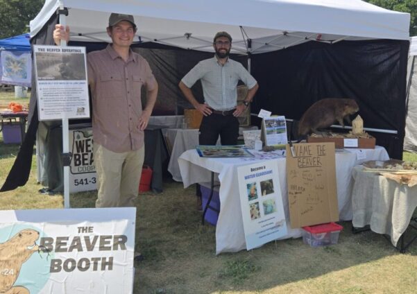
Activities include community working groups, practitioner workshops and field learning, landowner and community outreach, youth education, fairs and public events, and development of practical tools for understanding community readiness. The project is also helping local partners identify where habitat work, coexistence support, or other investments may be useful as beavers return or expand.
Partners: Oregon Watershed Enhancement Board, Oregon Department of Fish and Wildlife, OSU-USGS Human Dimensions Lab, Bonneville Environmental Foundation, Gilliam County Soil and Water Conservation District, Lake County Umbrella Watershed Council, Crooked River Watershed Council, and participating landowners and community partners.
Bear Creek - Long-Term Beaver Monitoring and Riparian Recovery
Crook County | Ongoing
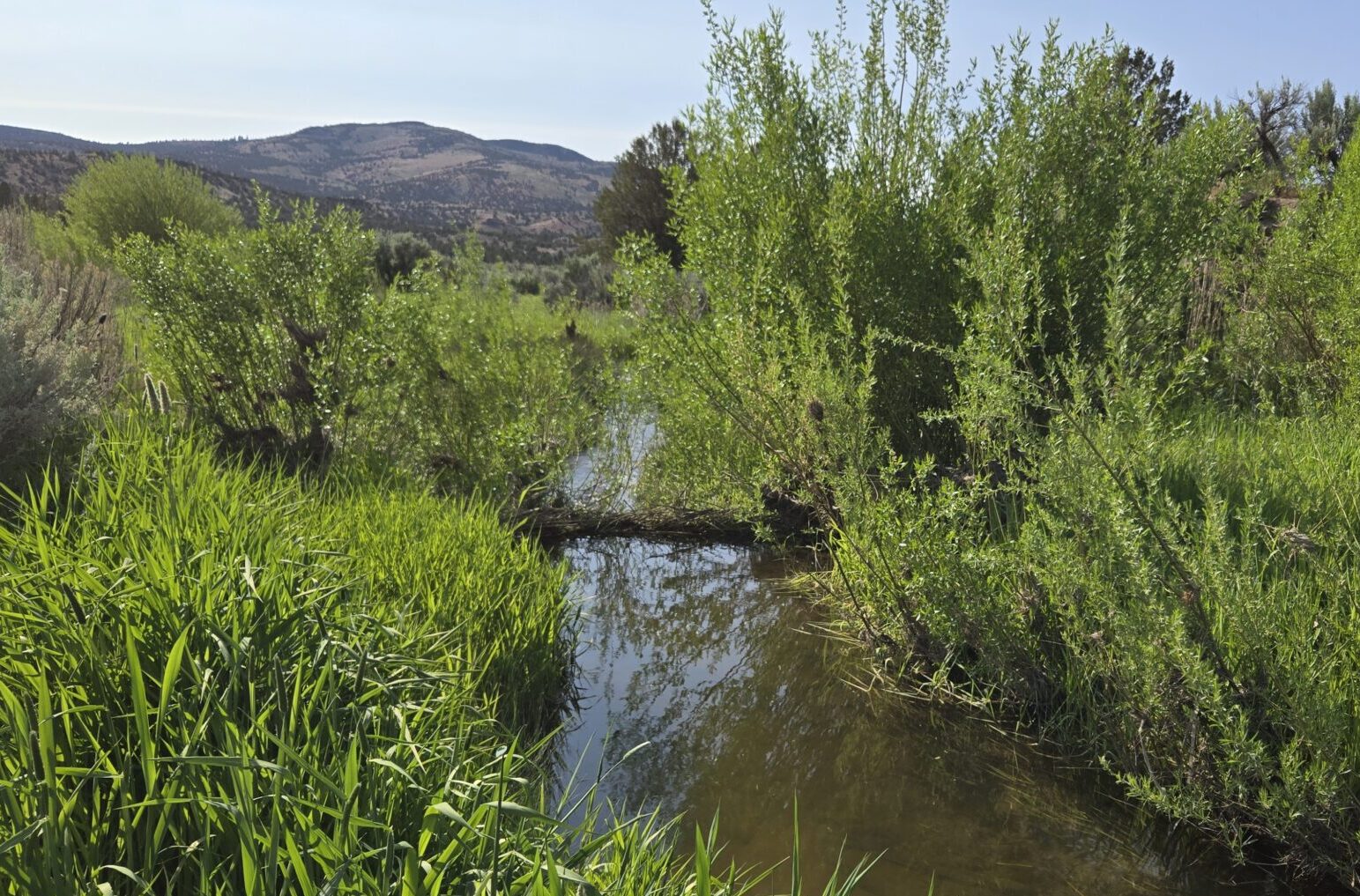
For more than five years, Western Beavers has monitored established beaver families and worked to strengthen riparian vegetation along Bear Creek at Sage Hollow Ranch. Beavers have begun returning to this roughly three-mile reach following nearly two decades of riparian vegetation establishment and livestock exclusion led by the landowner.
The work has included supplementing the substantial riparian vegetation already established by the landowner with roughly 3,000 additional willow and cottonwood cuttings, while monitoring beaver activity, territory use, forage availability, and vegetation recovery over time.
Much of what we have learned about beaver forage needs, territory use, family persistence, and the value of staying with a place over many years has grown from observations throughout 11 miles of this system.
Current work is focused on continuing woody vegetation establishment and improving conditions that can support the resident beavers and, over time, provide room for future generations to expand.
Partners: Sage Hollow Ranch, and Western Beavers volunteers.
Lower John Day - Beaver Strongholds and Watershed-Scale Assessment
Lower John Day Basin | Field assessment complete; framework development ongoing
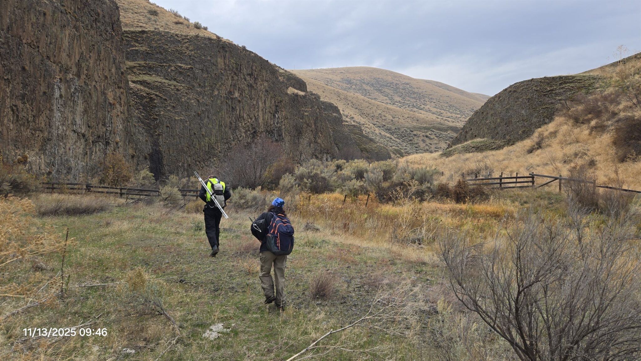
Western Beavers completed approximately 83 contiguous miles of stream survey across eight HUC12 watersheds in the Lower John Day Basin, documenting where beaver families are living today and how those settlements connect across the watershed.
The assessment found signs that beavers are beginning to recolonize parts of the system following roughly two decades of riparian restoration and land management improvements. We identified a small but important network of active family groups, along with areas that appear capable of supporting further settlement, expansion, and movement between populations.
The findings are now being used to build a watershed-scale restoration roadmap - helping partners identify where additional habitat work can reinforce those gains, strengthen existing beaver families, support natural expansion, and make the best use of limited restoration dollars. Lessons from the Beaver Strongholds Framework help guide that prioritization.
Partners: Gilliam County Soil and Water Conservation District, participating landowners and land managers, field volunteers, and other Lower John Day conservation partners.
Bonnieview Ranch - Stream and Riparian Recovery
Crook County | Ongoing
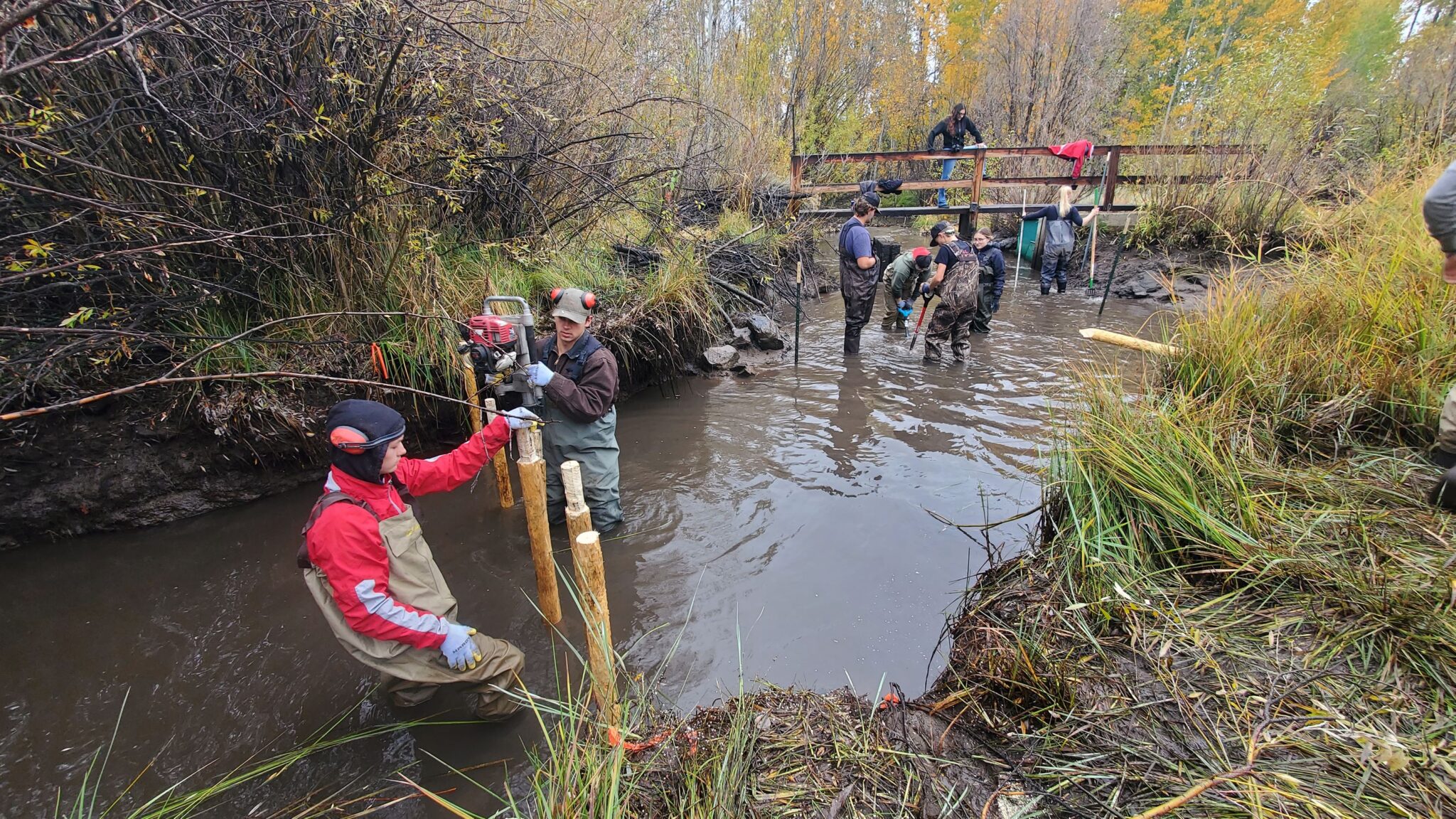
Since 2020, Western Beavers has worked with the Crooked River Watershed Council and other partners along approximately 3.2 miles of stream at Bonnieview Ranch.
Work to date has included installation of 63 low-tech instream structures and planting roughly 13,000 trees and shrubs, along with vegetation protection, monitoring, maintenance, and repair.
The work is intended to help slow water, reconnect stream and floodplain processes, and establish the woody riparian vegetation needed to support beavers over the long term.
Beavers are now present within the project area and have begun building dams of their own, including within structures installed earlier in the restoration effort.
A next phase is being developed for approximately 4.5 additional miles upstream, with roughly 80 additional structures and approximately 11,500 trees proposed.
Partners: Crooked River Watershed Council, Oregon Watershed Enhancement Board, U.S. Fish and Wildlife Service, Bonnieview Ranch, volunteers, and other local conservation partners.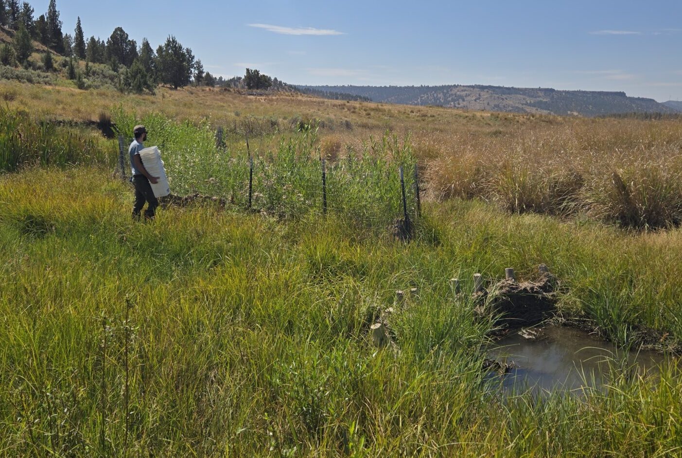
Crooked River Watershed Beaver Assessment
Crook County | Field work complete; action plan in development
Western Beavers has worked with the Crooked River Watershed Council and research and agency partners on a basin-scale assessment of beaver habitat and occupancy across the Crooked River watershed.
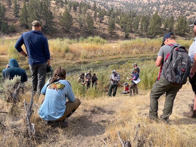
Utah State University updated and calibrated Beaver Restoration Assessment Tool modeling for the basin, while field crews surveyed 286 unique reaches - approximately 59 miles of stream - during 2024 and 2025. The field effort involved Oregon State University interns, Western Beavers volunteers, and U.S. Forest Service personnel.
The work brings modeled habitat information together with what is actually happening on the ground - where beavers are present, where habitat may support them, and where limiting conditions remain. The findings are now being brought together into a Beaver Action Plan to help guide future restoration and beaver-support efforts across the basin.
Partners: Crooked River Watershed Council, Oregon State University-Cascades, Utah State University, U.S. Forest Service, Bonneville Environmental Foundation, Western Beavers volunteers, and other basin partners.
Silver Lake - Beaver Coexistence at an Irrigation Weir
Lake County | Completed; follow-up as needed
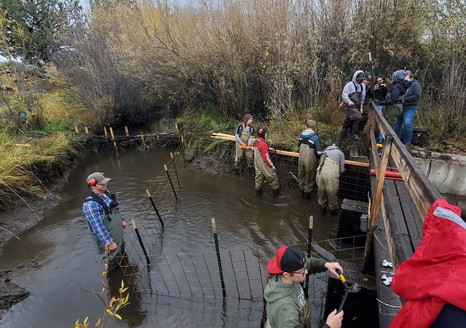
When beaver activity began interfering with an irrigation weir near Silver Lake, Western Beavers worked with local partners to find a way for the irrigation infrastructure and the resident beavers to remain in place together.
The project focused on adapting the structure rather than removing the beavers. Western Beavers helped assess the site and develop a practical coexistence approach that would maintain needed water movement while reducing the recurring conflict created by beaver building activity.
It is a much smaller project than a watershed assessment or multi-mile restoration effort, but it represents an equally important part of our work. Beaver return will sometimes create real challenges for irrigation systems, culverts, roads, and other working-land infrastructure. In many cases, careful site assessment and relatively modest adaptations can make room for both.
Partners: Local landowner and irrigation partners, and Lake County Umbrella Watershed Council.
Different Places, Different Questions
There is no single prescription for supporting beavers, their recovery, or the communities and working lands around them across Eastern Oregon.
A project may begin with an established beaver family that needs more forage, a degraded stream with room for recovery, an irrigation structure that keeps getting plugged, or a watershed where agencies are trying to decide where limited restoration dollars should go.
Sometimes the useful next step is planting, or adding instream structure like BDAs or PALs. Sometimes it is monitoring, mapping, changing land management, modifying infrastructure, bringing people together, or simply spending enough time on the ground to understand what is happening.
That variety is part of the work. If something here connects with a challenge or opportunity on your land, watershed, or in your community, we would be glad to explore what working together could look like.